A silent, invisible war rages above the Middle East, orchestrated by networks of radars, satellites, and artificial intelligence, determining when sirens blare and where millions must seek shelter. These sophisticated systems decide in fractions of a second when to intercept threats descending from the sky.
The technical journey of an alert begins in space, where systems seek the heat signature of a missile's engine rather than the missile itself.
Israel relies heavily on the U.S. Air Force's Space-Based Infrared System (SBIRS). Lockheed Martin, the manufacturer, reports that these satellites can detect the thermal flash of a launch from anywhere in Iran.
U.S. Strategic Command asserts that this information reaches Israeli battle management centers in under two seconds via encrypted, undersea fiber optic cables.
Iran has developed its strategy using the Noor-3 satellite constellation. According to the Center for Strategic and International Studies (CSIS), these satellites provide independent thermal and visual sensing, enabling the Islamic Revolutionary Guard Corps Aerospace Force to monitor hostile aerial movements over the Gulf and western borders, feeding data to ground-based warning centers without international intermediaries.
Once data arrives from space, ground-based tracking radars and phased arrays begin threat assessment.
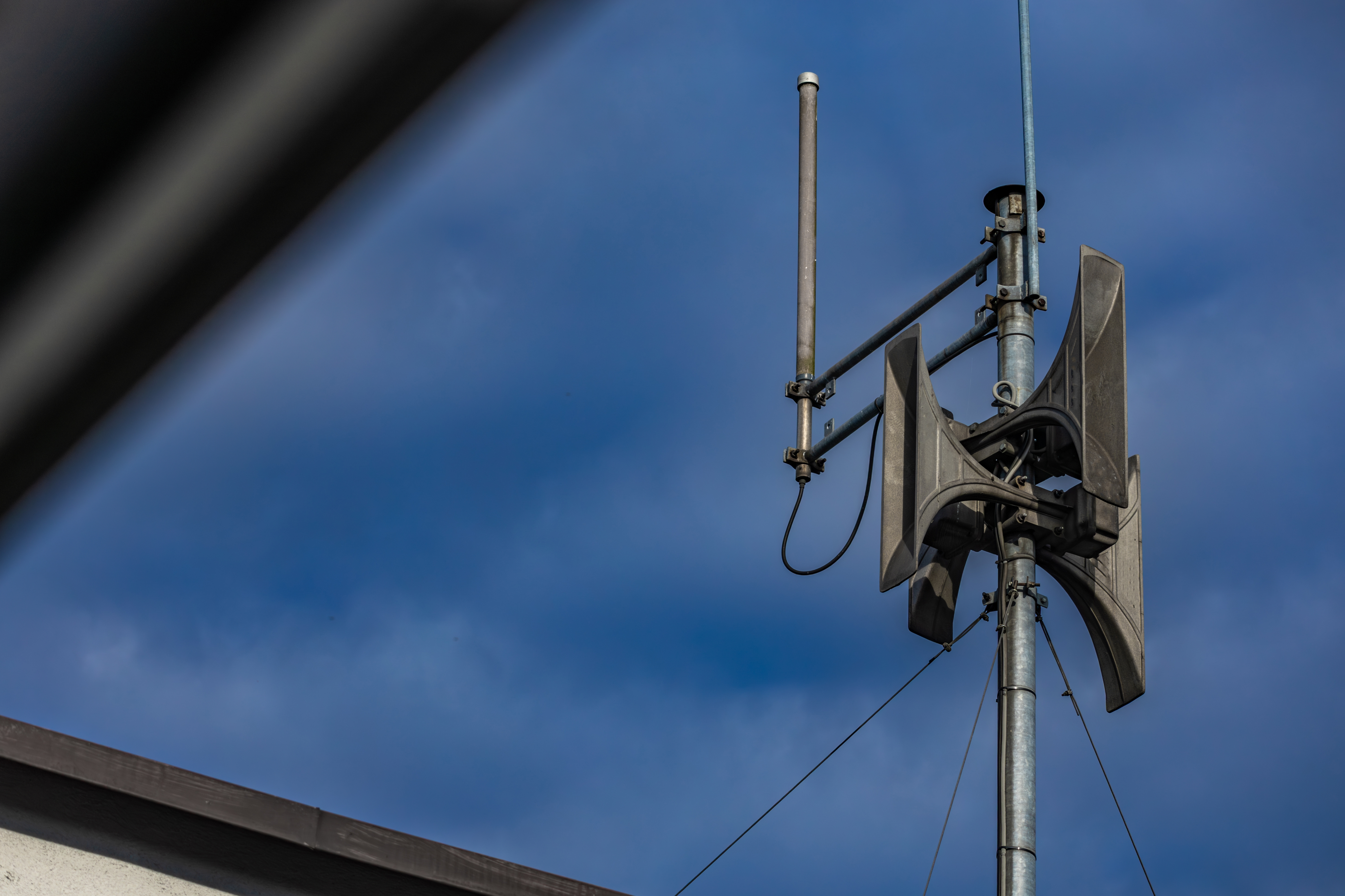
In Tel Aviv, the mPrest system, the software behind the Iron Dome and Arrow systems, divides the country into over 1,800 alert zones, according to the Israeli Ministry of Defense.
The algorithm calculates the precise expected impact point. Sirens remain silent if a missile is projected to land in an open area, preventing panic and economic disruption. If the missile targets a populated area, the siren sounds only in that specific zone.
In Tehran, the Khatam al-Anbia Air Defense Headquarters controls the system. A study by the Washington Institute for Near East Policy indicates that this center uses a hybrid data fusion system linking Qadir long-range radars and passive monitoring systems.
The technical advantage lies in multi-layered defense, activating alerts based on evasive routes, complicating the task for drones and cruise missiles attempting to hide behind terrain.
The digital alert reaches the public through cyber-secure channels. The International Telecommunication Union (ITU) notes that both countries use Cell Broadcast technology, distinct from standard SMS, unaffected by network congestion, reaching all phones in the targeted area within 0.5 seconds.
Cloud-connected smart applications also play a role. According to the Institute for National Security Studies (INSS), these apps serve as a backup if mechanical sirens face electronic jamming or electromagnetic pulses from advanced weapons designed to destroy electrical circuits.
The most significant challenge for these networks is false data. Reports indicate a fierce war in GPS spoofing. The danger is that false targets could trigger erroneous siren activations, depleting interceptor missiles or exhausting the population.
Therefore, these networks incorporate noise-filtering algorithms, comparing space-based and ground-based data to verify the target's physical existence.
Experts say these hidden networks above Tehran and Tel Aviv are not merely military tools but existential infrastructure. While the world sees explosions, these systems manage a silent battle between calculation speed and the speed of falling projectiles, a technological symphony proving that modern wars are won or lost in cyberspace before missiles strike the ground.